


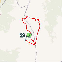

3,6 km | 7,6 km-effort


Gebruiker


Gratisgps-wandelapplicatie
 SityTrail
IGN / Geografische instituten
SityTrail World
De wereld gaat voor u open
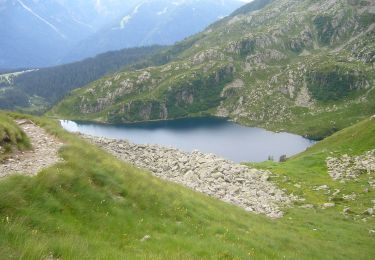
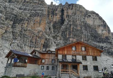
Tocht Stappen van 12,3 km beschikbaar op Trento-Zuid-Tirol, Provincia di Trento, Tre Ville. Deze tocht wordt voorgesteld door GAPIAN43.
Graffer - 301 Passo Groste - 306 Tre Sassi - 334 Bocca dei Tre Sassi - 336 - 390 Via Gustavo Vidi - Passo Groste - 301 Graffer.

Te voet
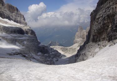
Te voet
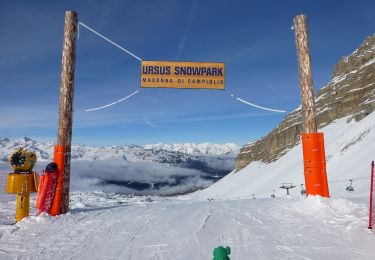
Te voet

Te voet

Te voet
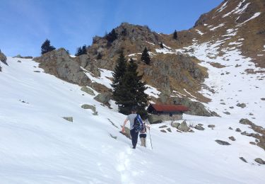
Te voet
Te voet
Te voet
Te voet